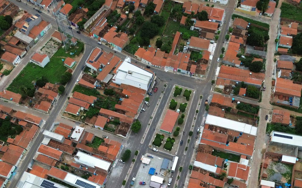
Using satellite imagery with property maps has gained significant momentum in recent years. This powerful combination provides high-yield insights to various sectors such as real estate, urban planning, and agriculture. Property maps successfully distinguish land boundaries and usage patterns, which helps individuals and businesses make better decisions by plotting these maps on satellite images.
Understanding how to effectively overlay these resources can transform your analysis capabilities. Using a property map tool allows you to visualize geographical data in ways that weren't possible before, creating opportunities for more informed decision-making across multiple industries.
Understanding the Basics
Property maps, also called cadastral maps, display land parcels and boundaries. They contain essential information about land ownership and legal designations. In contrast, satellite images provide a top-down landscape perspective, offering accurate depictions of the Earth's surface from space. When combined, these two resources create a comprehensive visualization that enhances spatial understanding and analysis.
Choosing the Right Tools
Selecting appropriate tools is essential for properly aligning property maps with satellite imagery. Various software programs offer different features based on your specific needs. Popular options include Geographic Information Systems (GIS) software programs that enable precise mapping and analysis. These platforms allow users to upload property maps and satellite images and overlay them for comprehensive analysis, providing crucial context to geographical data.
Data Import and Alignment
After selecting the right tools comes the process of data import. Users must ensure that property maps and satellite images are in compatible formats, such as shapefiles for maps and JPEG or TIFF for imagery. Alignment after importing the data is critical. Georeferencing is an important step in this process, as it enables maps and images to match with real-world coordinates, ensuring accuracy in the final overlay.
Modifying and Personalizing the View
Customization improves the clarity of the overlay after the alignment step. Users can adjust transparency levels so that both the map and image are visible in a single layer. This visibility helps to better understand and analyze the data. Additionally, users can add labels, borders, and other related components to enhance visual representation. The view can be customized according to specific analysis requirements, making the data more accessible and useful.
According to the National Land Survey of Finland, proper alignment of cadastral data with satellite imagery has improved land management efficiency by up to 40% in rural development projects.
Use Cases in the Property Sector
Overlaying property maps on satellite imagery offers significant benefits for the real estate domain. This technique allows agents and buyers to quickly see land boundaries, nearby amenities, and potential development areas. This visualization helps in making informed decisions when buying assets. Real estate professionals can also better assess the effects of surrounding developments on property prices, providing valuable insights for investment strategies.
Advantages of Urban Planning
These overlays provide urban planners with exceptional analytical capabilities. By visualizing current land usage, planners can make better zoning decisions, develop appropriate infrastructure, and protect important areas. Such integration provides a comprehensive understanding of urban growth dynamics, helping planners design sustainable, efficient, and environmentally friendly cities that meet the needs of growing populations.
Agricultural Insights
Merging land ownership maps with satellite imagery adds tremendous value to the agricultural sector. Farmers can evaluate soil quality, irrigation patterns, and crop health by analyzing these combined resources. With this knowledge, they can optimize yield and manage resources more efficiently. This integration supports the adoption of sustainable agricultural practices, benefiting both the environment and the economy through smarter land management.
Addressing Challenges
Despite the many advantages of overlaying property maps on satellite imagery, ensuring data accuracy remains crucial. Erroneous data can lead to misinterpretation and poor decisions. Maps and imagery must be regularly updated and verified to remain reliable sources of information. Moreover, using this software may require certain technical skills. With proper training and support, users can maximize the potential of these powerful analytical tools.
Future Prospects
The future holds exciting opportunities for property maps and satellite imagery integration. Technological improvements suggest overlays will become even more detailed and accurate as imaging capabilities advance. These advancements will further revolutionize industries dependent on geographic data, from real-time updates to increased resolution, opening new possibilities for analysis and application across multiple sectors.
Conclusion
The layering of property maps over satellite imagery represents one of the most powerful tools available across multiple sectors. With a thorough understanding of the process, the required tools, and strategies for overcoming challenges, users can gain valuable insights from this technology. From real estate planning and urban management to agricultural applications, this integration enhances decision-making capabilities and drives innovation. As the technology continues to mature, the possibilities for these overlays will only expand, presenting greater opportunities in the years ahead.
Featured Image by Pixabay.
Share this post
Leave a comment
All comments are moderated. Spammy and bot submitted comments are deleted. Please submit the comments that are helpful to others, and we'll approve your comments. A comment that includes outbound link will only be approved if the content is relevant to the topic, and has some value to our readers.
Comments (0)
No comment