

Legal Aspects of Accessing Mobile GPS Records After Incidents
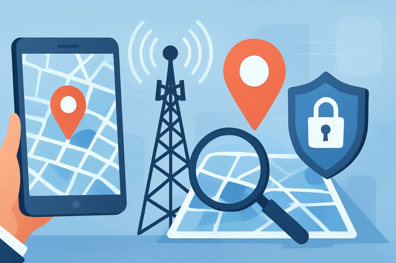
A phone sitting in someone's pocket never really stops working. It's pinging towers, grabbing satellite fixes, quietly building a timeline nobody asked for. Then a car crash happens, or a hit-and-run, and suddenly that boring background data becomes the star witness. Satellite positioning and cell tower logs don't forget details, don't get nervous under cross-examination, and don't change their story a week later. This piece digs into how that data gets pulled after an incident, who's legally allowed to touch it, and where things get genuinely tricky.
Courts Actually Care About This Stuff Now
Insurance adjusters used to argue over skid marks. Now they argue over timestamps. A driver swears they weren't on their phone — then a carrier log or an app's GPS history says something different, and the whole story falls apart. Look at Carpenter v. United States from 2018: the Supreme Court decided police generally need a warrant before pulling someone's historical cell-site records. One ruling, and suddenly prosecutors, insurers, and civil attorneys everywhere had to rethink how they approach location evidence.
Civil litigation plays by different rules than criminal cases, though. Subpoenas replace warrants, and honestly, that's where a lot of the mess happens. Personal injury claims get particularly tangled because of comparative negligence — where someone was, down to the minute, can decide who pays what. Personal injury law firms tend to already know which carriers respond fast and which ones sit on a request for two months hoping it goes away. That relationship saves real time.
GPS, IP Addresses, Cell Towers — Not the Same Animal
Here's where things get muddled, even for people who work in tech day to day. Three completely different data sources get bundled together as "location evidence," and mixing them up can wreck a case.
1. Satellite Positioning: GPS, GLONASS, Galileo
- GPS pins a location within roughly 5–10 meters outdoors. Worse under tree cover, worse still between tall buildings.
- A-GPS speeds up that first fix using cell tower assistance — drops the wait from maybe 30 seconds down to two or three.
- GLONASS, Russia's satellite system, runs alongside GPS on most modern chips. More satellites in view, better accuracy, simple as that.
- Galileo, the EU's constellation, adds a third layer on newer hardware. Useful in dense city centers where satellite geometry gets crowded.
None of it sticks around forever, by the way. Retention windows are set by the app developer, not by any universal standard, and that alone creates legal headaches down the line.
2. IP-Based Geolocation
Much blunter tool. Sometimes it nails a city, sometimes a VPN or a carrier's shared IP pool throws it off by hundreds of miles. Nobody's placing a device at a specific intersection using IP data alone. What it's good for: confirming a device was even active in a region during a certain window.
3. Cell Tower Triangulation
Carriers log which towers a phone talked to, plus signal timing details — timing advance, angle of arrival, that sort of thing. The result is a probable zone, not a pin drop. Still, courts have leaned on cell-site location information more and more as solid circumstantial evidence, especially when it lines up with GPS logs from the same device.
Getting the Records Isn't a Phone Call
Nobody just calls up Verizon and asks for a favor. There's a process, and skipping a step usually means the evidence gets tossed out later.
- Preservation letter: Sent early, sometimes within days, telling the carrier or app company: don't auto-delete this.
- Subpoena duces tecum: The standard civil tool for compelling a third party to hand over records, usually requiring notice to the account holder first.
- Court order or warrant: Mandatory for law enforcement, and increasingly expected in civil cases too, post-Carpenter.
- Carrier compliance review: Telecoms run this through internal legal departments. AT&T's, for what it's worth, has a reputation for being slow.
And here's the catch nobody warns people about: retention periods vary wildly. Apple's Find My data, Google's Location History (mostly shifted to on-device storage since 2023), carrier CSLI — none of them keep records for the same length of time. Some hold 30 days, some hold 18 months. Send that preservation letter late, and the evidence is just gone.
Privacy Law Isn't Optional Reading
This part matters a lot to anyone with a cybersecurity background, and for good reason. Location data is about as personal as data gets — it can reveal a home address, a hospital visit, a religious service, an affair. Regulators know exactly how sensitive it is.
- CCPA/CPRA in California treats precise geolocation as sensitive personal information. Businesses have to disclose how they collect it, and consumers get some say in limiting its use.
- GDPR applies similar weight for anyone dealing with EU residents — no processing location data without a lawful basis, usually consent.
- BIPA in Illinois occasionally overlaps here too, particularly when devices pair GPS with biometric identifiers.
None of these laws block a legitimate subpoena outright. But they do shape how a request gets written. Ask for "every scrap of location data this person has ever generated," and expect pushback, delays, a fight over scope. Ask for a tight two-hour window around the actual incident, and it moves through a lot faster.
Reading the Data Right Matters More Than Getting It
Getting the records is honestly the easy half. Interpreting them correctly? That's where cases actually get decided.
Raw CSLI doesn't say "phone was standing at 5th and Main." It says something closer to: connected to Tower A, then Tower B, these signal strengths, these timestamps. Turning that into an actual map location takes knowledge of tower sectorization, signal propagation, sometimes even terrain. That's exactly why digital forensics experts get pulled into these cases — not to add credibility for show, but because a sloppy read of the raw data can place someone on the wrong side of a highway. Sounds like a small mistake. It isn't.
Vehicle telematics complicate things further. A car's infotainment GPS unit and a passenger's phone often use different sampling rates and entirely different coordinate systems. Reconciling both data sets after a crash isn't a job for a generalist lawyer working alone — it needs someone who reads raw NMEA sentences for a living and can testify honestly about margin of error instead of pretending the data is more precise than it is.
Where This Leaves Things
Mobile location data has quietly become one of the most reliable forms of circumstantial evidence available after an incident — mainly because it's generated automatically, with zero thought given to future litigation. That's also exactly its weak spot. This data was never built to be courtroom-ready. Pulling it, preserving it, and reading it correctly takes real technical know-how sitting right alongside proper legal procedure. Miss either one, and even a flawless GPS trail turns into evidence nobody can actually use.
Disclaimer
This article is provided for general informational purposes about how mobile GPS, cell-tower, and IP-based location data are collected, accessed, and interpreted after incidents. It summarizes common procedures and legal principles but does not cover every jurisdiction, carrier practice, or technical detail and may not reflect the most recent developments.
Laws, retention policies, and industry practices change frequently; do not rely on this article for making legal or evidentiary decisions. Verify critical facts and timelines with official sources, carrier policies, or a qualified attorney or other appropriate professional before taking action.
Comments
Comments are available to signed-in users and are moderated to keep the discussion useful and respectful. Spam, automated submissions, and low-value promotional comments are removed. Outbound links may be approved when they are relevant and genuinely helpful to readers, but they are displayed as plain text rather than clickable hyperlinks.
No comments have been published yet.
Please sign in to submit a comment.