

Network, Geolocation, Mobile App Development
How Location Technology Powers Ride-Hailing, Delivery, and Navigation Apps
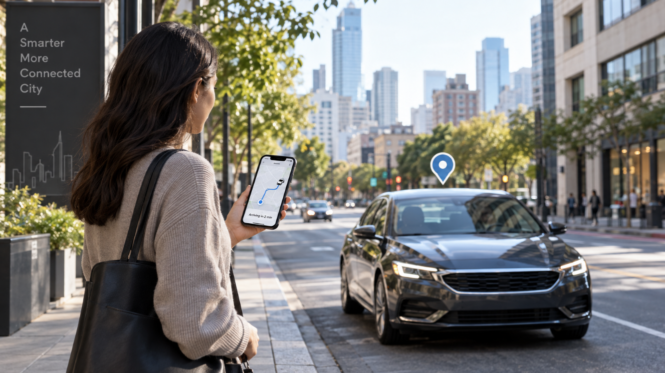
When a ride-hailing app finds a nearby driver, a delivery app shows a courier moving toward your door, or a navigation app changes its route after traffic builds up, location technology is doing far more than placing a dot on a map.
These apps combine satellite positioning, phone sensors, digital maps, traffic information, routing systems, and live updates. Together, those tools help an app work out where someone is, where they need to go, and how to get there efficiently.
How Smartphones Find Their Location
A phone does not rely on a single location source. It can combine several signals, helping apps keep working in different environments.
GPS Provides the Basic Position
GPS uses signals from satellites so a receiver can calculate its position. GPS.gov says smartphones are often accurate to about 4.9 meters in open sky, though buildings, bridges, trees, indoor spaces, and reflected signals can reduce accuracy.
That explains why a map can occasionally place someone on the wrong side of a road or slightly away from the entrance where they are standing.
Wi-Fi, Mobile Networks, and Sensors Add Context
Phones can also use Wi-Fi, mobile networks, and motion sensors. Android documentation explains that fused location systems can combine GPS, Wi-Fi, cell networks, and device sensors.
For users, the useful takeaway is simple: location quality depends on the phone, surroundings, available signals, and permission settings.
How Ride-Hailing Apps Use Location Data
Ride-hailing apps must understand where the rider is and where nearby drivers are. They also need to estimate which driver can reach the pickup point in a practical amount of time.
Pickup Pins Affect More Than Distance
The pickup pin becomes a routing target. If it is inside a shopping center, across a divided road, or behind a building with limited vehicle access, the closest driver on the map may not be the quickest one to arrive.
Before booking, check that the pin is at the correct entrance, pickup zone, and side of the road. A small adjustment can prevent a driver from being sent around the block.
Location Also Supports Fare and Time Estimates
Ride platforms can use route distance, expected travel time, ride type, driver availability, and demand when producing estimates. Uber says trip time and distance can affect pricing, while Lyft says route, ride type, availability, and demand are considered in its estimates.
For example, an Uber estimate calculator can illustrate how estimated trip costs may vary based on factors such as the pickup point, destination, traffic conditions, and additional stops. Any estimate should be treated as a general planning reference rather than a fixed price.
How Delivery Apps Track an Order
Delivery apps have to coordinate the merchant, courier, customer, and road network. Location data helps connect each stage from pickup to drop-off.
The App Tracks Several Important Points
A typical delivery includes the courier's current position, the pickup location, and the customer's address. The system can calculate a route and update the expected arrival time as the courier moves.
The moving map marker is only one part of the process. Preparation time, parking, building access, lifts, gates, and the final handoff can also affect when an order reaches the customer.
Good Address Details Matter at the Final Stage
- The map pin matches the written address
- The building or tower name is correct
- The flat, floor, or unit number is included
- Gate or entry instructions are clear
- The phone is reachable if directions are needed
Location data can get a courier close, but clear address details help complete the handoff.
Why Navigation Apps Need More Than GPS
Knowing the phone's coordinates is not enough to provide useful directions. A navigation app must connect those coordinates to roads, paths, turns, and route rules.
Map Matching Connects the Position to a Road
Raw location readings can drift. A navigation system can compare the phone's position, direction, speed, and nearby roads to estimate which road the user is probably traveling on.
That is why the on-screen marker often stays attached to a road even when the underlying location reading is not exact.
Routing Systems Compare Possible Paths
Routing software evaluates connections between an origin and destination. Depending on the service, it may consider road type, turn restrictions, traffic, tolls, closures, and travel mode.
Google Maps Platform, for example, documents route and route-matrix functions for calculating routes and distances between locations.
For users, the practical habit is to check the full route, not only the arrival time. A slightly faster option may include tolls or awkward turns that do not suit the trip.
Why ETAs and Prices Can Change
Small Changes Can Alter the Result
An estimated arrival time is based on the information available at that moment. If the location, route, traffic, or demand changes, the estimate may change too.
Similarly, a Lyft estimate can be used as a general reference for understanding potential trip costs. The estimate may change based on the pickup point, destination, timing, local conditions, additional stops, or changes made to the destination during the trip.
A driver who appears close on the map may still need to follow one-way streets, cross a bridge, or make a long turn before reaching the pickup point.
Road Distance Is More Useful Than Straight-Line Distance
Two places can look very close on a map but be much farther apart by road. Rivers, motorways, restricted turns, pedestrian areas, and one-way systems can change the real route.
That is why route-based travel time is usually more useful than judging distance by eye.
Common Location Problems Users Can Check
Start With These Basics
- Location permission: Check that the app has the appropriate location access for the feature being used.
- Pin position: Confirm that the pickup or drop-off marker is placed at the correct entrance or meeting point.
- Signal conditions: Tunnels, indoor parking areas, and dense high-rise environments can reduce GPS accuracy.
- Address details: Include relevant building, floor, gate, or entrance information when the map pin alone is not sufficient.
- Network connection: Live location tracking and route updates generally require a mobile data or Wi-Fi connection.
- Battery settings: Some devices restrict background activity to conserve power, which can reduce the frequency of location updates.
Android notes that higher accuracy and more frequent location updates generally use more battery. It also allows users to choose approximate or precise location in supported versions, so permission settings can affect how accurately an app sees the device.
Conclusion
Location technology is the working core behind many ride-hailing, delivery, and navigation apps. GPS provides positioning; phone sensors and networks support it; digital maps connect coordinates to roads and addresses; and routing systems calculate practical paths and arrival times.
For users, a few habits make these apps easier to use: check the pickup pin, enter complete address details, review the route instead of relying on straight-line distance, keep the needed permissions enabled, and treat ETAs and price estimates as values that can change with real-world conditions.
Comments
Comments are available to signed-in users and are moderated to keep the discussion useful and respectful. Spam, automated submissions, and low-value promotional comments are removed. Outbound links may be approved when they are relevant and genuinely helpful to readers, but they are displayed as plain text rather than clickable hyperlinks.
No comments have been published yet.
Please sign in to submit a comment.